

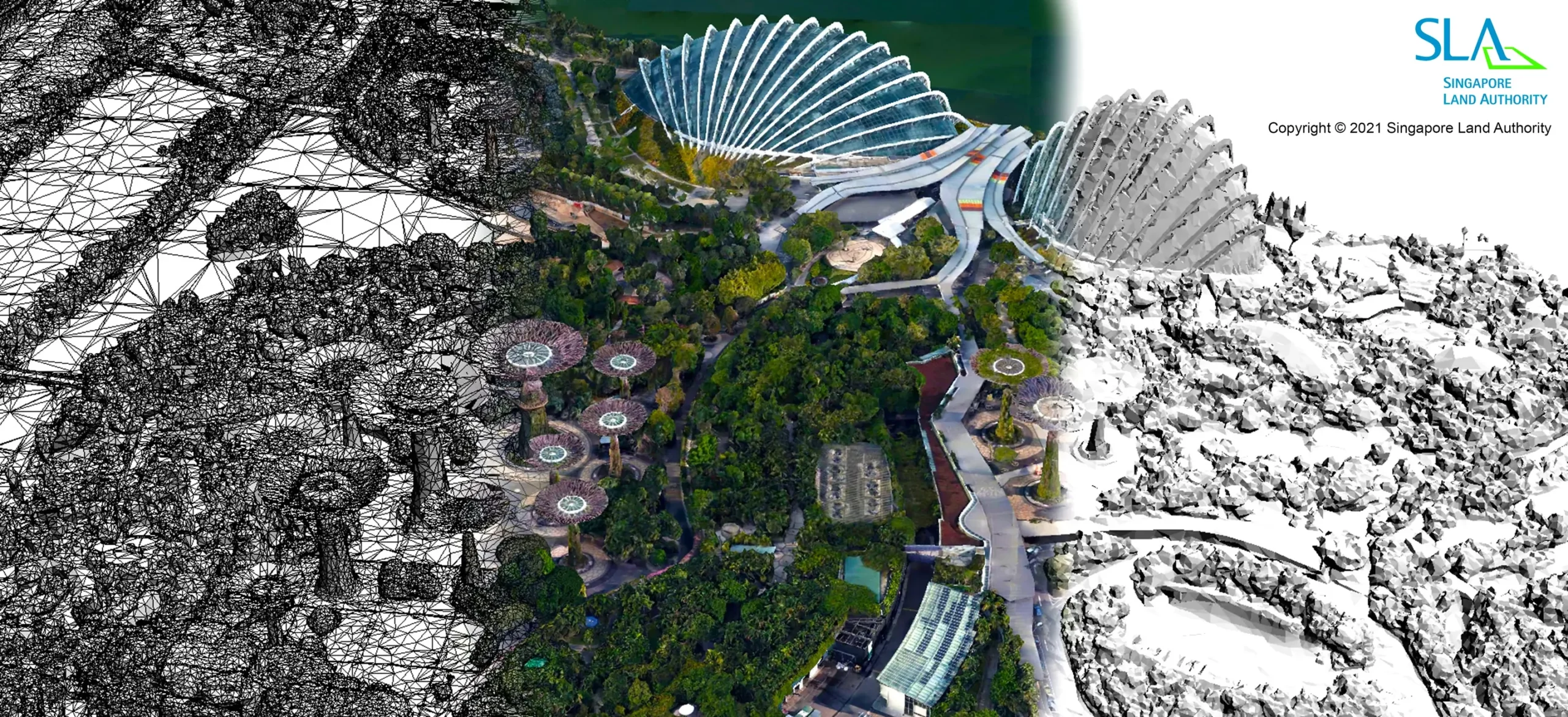
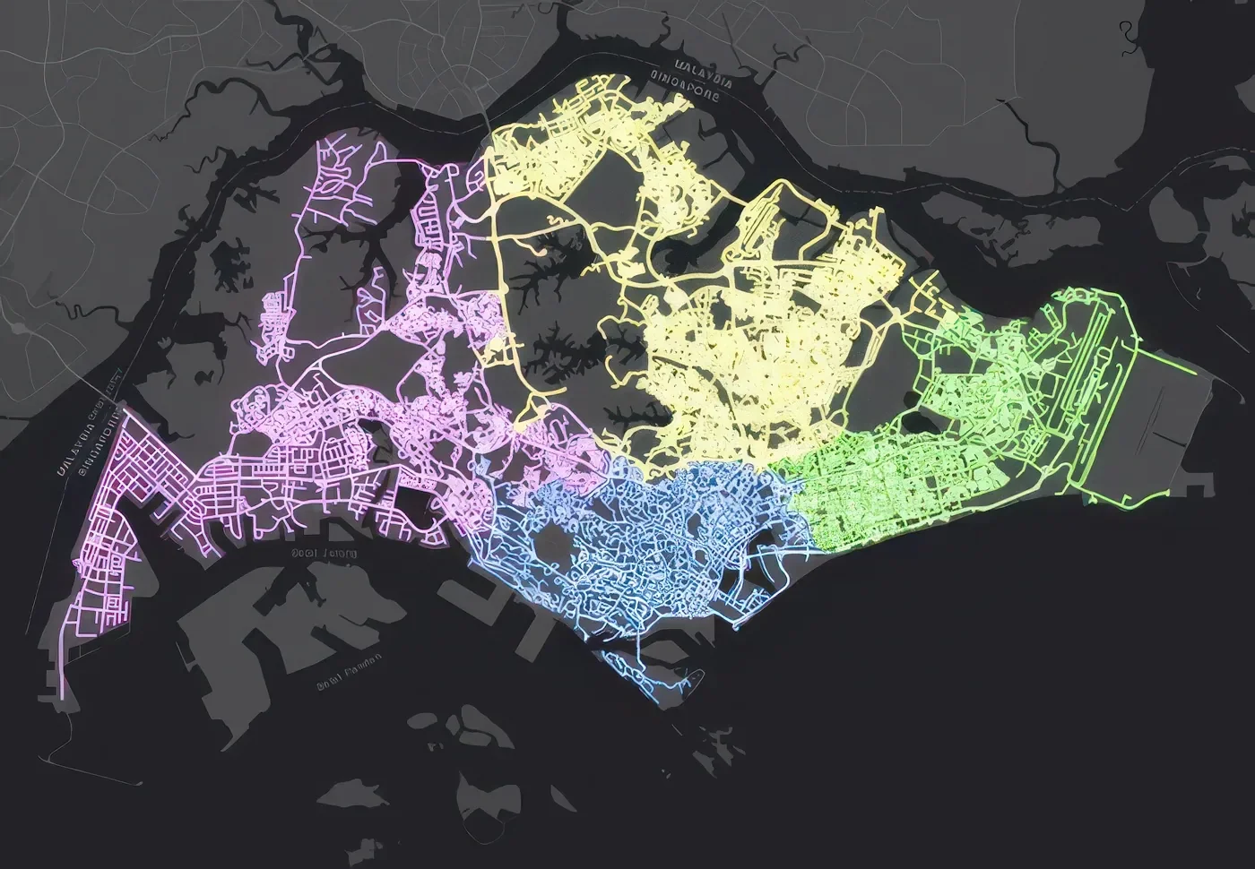
Virtual Singapore is a nationwide 3D digital twin of Singapore, led by the National Research Foundation under the Prime Minister’s Office in collaboration with the Singapore Land Authority (SLA) and the Government Technology Agency, with Dassault Systèmes providing the underlying 3D platform. Launched in December 2014 as part of the Smart Nation initiative, the SGD 73 million project is built on 3D topographical data collected under SLA’s national mapping programme, which combined aerial photography, airborne LiDAR and vehicle-mounted mobile laser scanning to capture the island in high resolution.
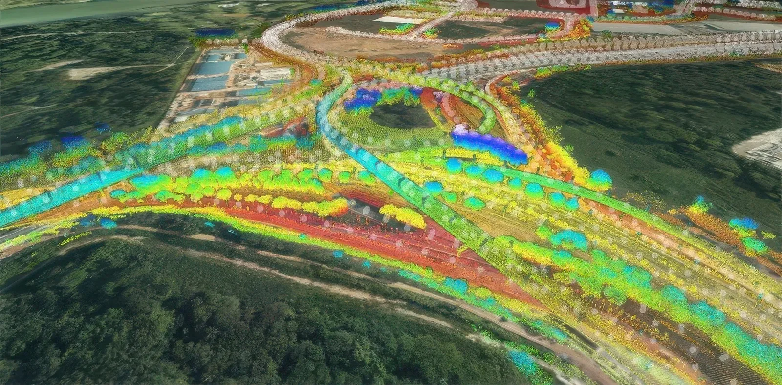
The mapping programme was delivered in two phases: an airborne phase producing 3D data for terrain, buildings, vegetation and waterbodies, followed by a mobile scanning phase capturing transportation infrastructure, city furniture, bridges and tunnels. City modelling, laser scanning and CityGML preparation were carried out for NRF to turn this data into semantically structured 3D city models, using the CityGML open standard (the project implements 8 of the 10 thematic modules in CityGML 2.0), so the data can be shared and queried consistently across government agencies.
Preparing laser scan data at national scale as CityGML-compliant city models requires consistent classification and tagging of millions of individual features, from buildings and terrain to street furniture and vegetation. This semantic structure allows the models to support analysis such as flood simulation, network coverage testing and crowd evacuation modelling, rather than serving only as visualisation, and lets multiple agencies reuse the same data through web services.
Details
Client
National Research Foundation, PMO
Size
–
Location
Singapore
Project Start Year
2014
Industry
Smart City
Completion Year
Ongoing